Quick Info
Satellite
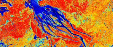
Landsat
Category
Water
Min Value
-1.0
Max Value
1.0
Colormap
BrBG
Bands Used
nir08
swir16
Satellite Details
Description
NDMI for Landsat measures vegetation water content using NIR and SWIR bands. Higher values indicate greater canopy moisture. With Landsat's long archive, it enables multi-decadal drought trend analysis, forest moisture monitoring, and historical assessment of vegetation water stress patterns.