Quick Info
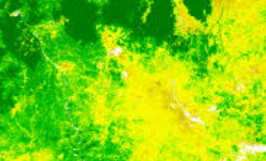
Satellite
Sentinel-2
Category
Vegetation
Min Value
0.0
Max Value
8.0
Colormap
Greens
Bands Used
blue
red
nir
Satellite Details
Description
LAI estimates the total one-sided leaf area per unit ground surface area. Derived from EVI, it is a key biophysical parameter used in crop growth models, carbon cycle studies, and ecosystem productivity assessments. Higher values indicate denser canopy cover.